Lucas Gardens
Introduction
The photograph on this page of Lucas Gardens by Martin Addison as part of the Geograph project.
The Geograph project started in 2005 with the aim of publishing, organising and preserving representative images for every square kilometre of Great Britain, Ireland and the Isle of Man.

There are currently over 7.5m images from over 14,400 individuals and you can help contribute to the project by visiting https://www.geograph.org.uk
Lucas Gardens
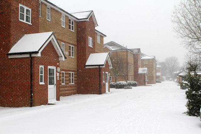
Image: © Martin Addison Taken: 18 Jan 2013
Part of a housing estate built on the site of the old Simms Factory. This road takes its name for Lucas who took over Simms. The area on which these apartments stand was the car park. Previously, it had been allotments. The road connects to Long Lane at the far end. It is divided in the middle to prevent through traffic and the section behind me is called Simms Gardens at the other end.
Images are licensed for reuse under creativecommons.org/licenses/by-sa/2.0
Image Location


Leaflet Map data © OpenStreetMap
Latitude
51.596753
Longitude
-0.177243