Untreated footpath
Introduction
The photograph on this page of Untreated footpath by Pauline E as part of the Geograph project.
The Geograph project started in 2005 with the aim of publishing, organising and preserving representative images for every square kilometre of Great Britain, Ireland and the Isle of Man.

There are currently over 7.5m images from over 14,400 individuals and you can help contribute to the project by visiting https://www.geograph.org.uk
Untreated footpath
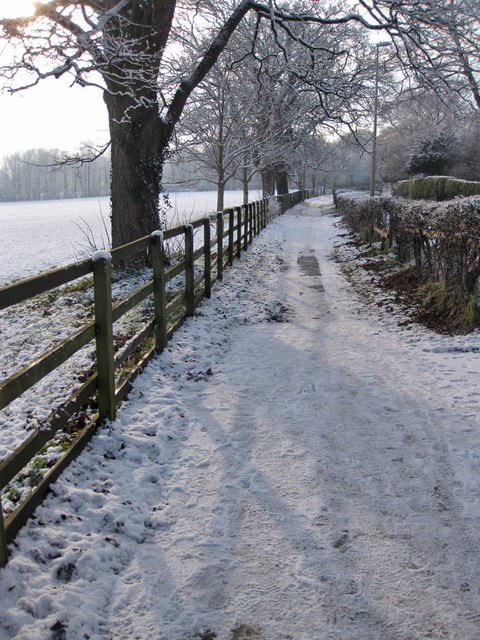
Image: © Pauline E Taken: 16 Jan 2013
Footpath alongside Old Malton Road. The ambulance station is across the road! The horizontal belt of trees ahead marks the dismantled railway line.
Images are licensed for reuse under creativecommons.org/licenses/by-sa/2.0
Image Location
Latitude
54.139262
Longitude
-0.787983