Harrop Fold
Introduction
The photograph on this page of Harrop Fold by Chris Heaton as part of the Geograph project.
The Geograph project started in 2005 with the aim of publishing, organising and preserving representative images for every square kilometre of Great Britain, Ireland and the Isle of Man.

There are currently over 7.5m images from over 14,400 individuals and you can help contribute to the project by visiting https://www.geograph.org.uk
Harrop Fold
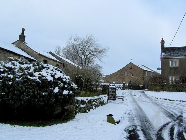
Image: © Chris Heaton Taken: 16 Jan 2013
Hamlet located at the foot of the northern flank of Grindleton Fell - enhanced by a light blanket of snow.
Images are licensed for reuse under creativecommons.org/licenses/by-sa/2.0
Image Location


Leaflet Map data © OpenStreetMap
Latitude
53.938196
Longitude
-2.388549