Etal Road, near Tweedmouth
Introduction
The photograph on this page of Etal Road, near Tweedmouth by Graham Robson as part of the Geograph project.
The Geograph project started in 2005 with the aim of publishing, organising and preserving representative images for every square kilometre of Great Britain, Ireland and the Isle of Man.

There are currently over 7.5m images from over 14,400 individuals and you can help contribute to the project by visiting https://www.geograph.org.uk
Etal Road, near Tweedmouth
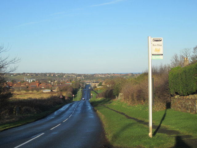
Image: © Graham Robson Taken: 9 Jan 2013
Looking along Etal Road towards Tweedmouth and Berwick. A bus stop is in the foreground on the right.
Images are licensed for reuse under creativecommons.org/licenses/by-sa/2.0
Image Location


Leaflet Map data © OpenStreetMap
Latitude
55.749491
Longitude
-2.018772