Path by the A487
Introduction
The photograph on this page of Path by the A487 by Bill Boaden as part of the Geograph project.
The Geograph project started in 2005 with the aim of publishing, organising and preserving representative images for every square kilometre of Great Britain, Ireland and the Isle of Man.

There are currently over 7.5m images from over 14,400 individuals and you can help contribute to the project by visiting https://www.geograph.org.uk
Path by the A487
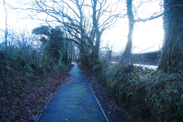
Image: © Bill Boaden Taken: 14 Jan 2013
Immediately out of Talybont there is no provision for pedestrians and it is dangerous. However on this country stretch, this excellent path has been provided.
Images are licensed for reuse under creativecommons.org/licenses/by-sa/2.0
Image Location
Latitude
52.481135
Longitude
-3.98698