South Croydon from the railway, 1966
Introduction
The photograph on this page of South Croydon from the railway, 1966 by Derek Harper as part of the Geograph project.
The Geograph project started in 2005 with the aim of publishing, organising and preserving representative images for every square kilometre of Great Britain, Ireland and the Isle of Man.

There are currently over 7.5m images from over 14,400 individuals and you can help contribute to the project by visiting https://www.geograph.org.uk
South Croydon from the railway, 1966
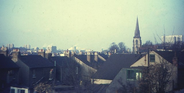
Image: © Derek Harper Taken: Unknown
Taken about 200 metres south of South Croydon station, with roofs of houses on St Peter's Street, and the spire of St Peter's church ahead (see http://www.geograph.org.uk/search.php?i=39221931 ). I think the building in the right foreground may have been demolished in the intervening 46 years.
Images are licensed for reuse under creativecommons.org/licenses/by-sa/2.0
Image Location
Latitude
51.361376
Longitude
-0.09539