Bryn yr Orsedd
Introduction
The photograph on this page of Bryn yr Orsedd by Rude Health as part of the Geograph project.
The Geograph project started in 2005 with the aim of publishing, organising and preserving representative images for every square kilometre of Great Britain, Ireland and the Isle of Man.

There are currently over 7.5m images from over 14,400 individuals and you can help contribute to the project by visiting https://www.geograph.org.uk
Bryn yr Orsedd
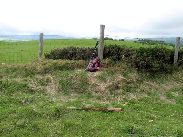
Image: © Rude Health Taken: 20 May 2011
Parked at cross roads SJ 13890 48370 then used gate to 1st field high point, then to fence HP and then to HP of next field. My GPS gave high point at fence but is man made so next high point is in the second field which was higher than first field. Name: Bryn yr Orsedd Hill number: 5157 Height: 405m / 1329ft Area: 30C: Llandudno to Wrexham Class: Hu Grid ref: SJ 14218 48599 Summit feature: no feature Drop: 124m Col: 281m SJ186495
Images are licensed for reuse under creativecommons.org/licenses/by-sa/2.0
Image Location
Latitude
53.0276
Longitude
-3.280898