Twywell Plantation
Introduction
The photograph on this page of Twywell Plantation by Michael Trolove as part of the Geograph project.
The Geograph project started in 2005 with the aim of publishing, organising and preserving representative images for every square kilometre of Great Britain, Ireland and the Isle of Man.

There are currently over 7.5m images from over 14,400 individuals and you can help contribute to the project by visiting https://www.geograph.org.uk
Twywell Plantation
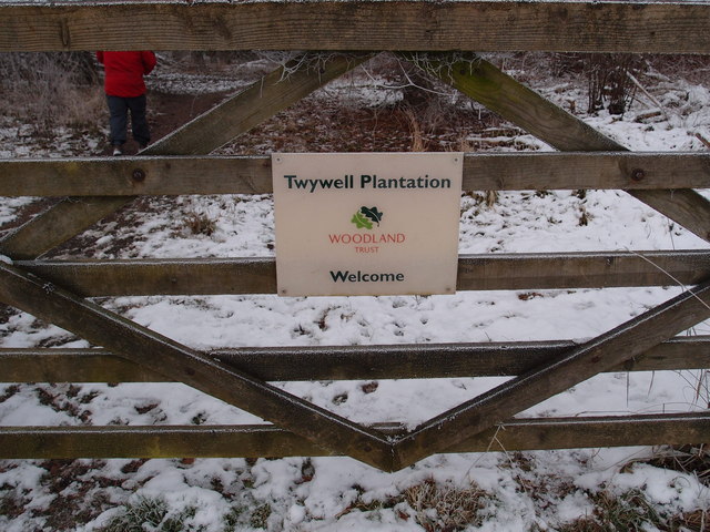
Image: © Michael Trolove Taken: 16 Jan 2013
Woodland Trust sign at the entrance to Twywell Plantation, an unreclaimed Ironstone pit and workings left as a nature reserve. http://www.woodlandtrust.org.uk/en/our-woods/Pages/wood-details.aspx?wood=4683#.UPgypye6fTo
Images are licensed for reuse under creativecommons.org/licenses/by-sa/2.0
Image Location
Latitude
52.390614
Longitude
-0.604693