Smiley Lane
Introduction
The photograph on this page of Smiley Lane by Russel Wills as part of the Geograph project.
The Geograph project started in 2005 with the aim of publishing, organising and preserving representative images for every square kilometre of Great Britain, Ireland and the Isle of Man.

There are currently over 7.5m images from over 14,400 individuals and you can help contribute to the project by visiting https://www.geograph.org.uk
Smiley Lane
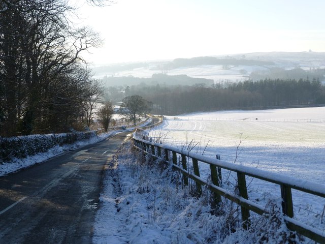
Image: © Russel Wills Taken: 17 Jan 2013
The big snowball on the top of Alnwick Moor is the Brizlee Wood Radar dome.
Images are licensed for reuse under creativecommons.org/licenses/by-sa/2.0
Image Location


Leaflet Map data © OpenStreetMap
Latitude
55.430257
Longitude
-1.707955