River Meden
Introduction
The photograph on this page of River Meden by Andy Stephenson as part of the Geograph project.
The Geograph project started in 2005 with the aim of publishing, organising and preserving representative images for every square kilometre of Great Britain, Ireland and the Isle of Man.

There are currently over 7.5m images from over 14,400 individuals and you can help contribute to the project by visiting https://www.geograph.org.uk
River Meden
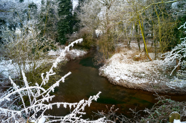
Image: © Andy Stephenson Taken: 17 Jan 2013
A pronounced bend in the river, viewed from the lane to Assarts Farm. The "spiky" branches aren't spiky at all, but are covered with frost.
Images are licensed for reuse under creativecommons.org/licenses/by-sa/2.0
Image Location
Latitude
53.216968
Longitude
-1.132716