A20 towards Folkestone
Introduction
The photograph on this page of A20 towards Folkestone by Robin Webster as part of the Geograph project.
The Geograph project started in 2005 with the aim of publishing, organising and preserving representative images for every square kilometre of Great Britain, Ireland and the Isle of Man.

There are currently over 7.5m images from over 14,400 individuals and you can help contribute to the project by visiting https://www.geograph.org.uk
A20 towards Folkestone
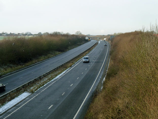
Image: © Robin Webster Taken: 16 Jan 2013
Viewed from the Satmar Lane bridge. A few flakes of snow were falling. One is rather near the camera.
Images are licensed for reuse under creativecommons.org/licenses/by-sa/2.0
Image Location
Latitude
51.111561
Longitude
1.220831