Newtownstewart Library
Introduction
The photograph on this page of Newtownstewart Library by Kenneth Allen as part of the Geograph project.
The Geograph project started in 2005 with the aim of publishing, organising and preserving representative images for every square kilometre of Great Britain, Ireland and the Isle of Man.

There are currently over 7.5m images from over 14,400 individuals and you can help contribute to the project by visiting https://www.geograph.org.uk
Newtownstewart Library
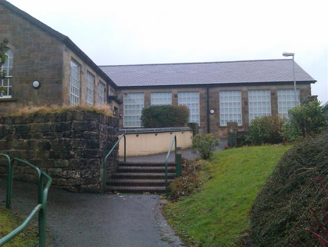
Image: © Kenneth Allen Taken: 16 Jan 2013
This previously was the primary school and it has been subjected to numerous vandalism throughout the years The new school is here Image]
Images are licensed for reuse under creativecommons.org/licenses/by-sa/2.0
Image Location
Latitude
54.717729
Longitude
-7.379594