Lower High Street houses, Shirehampton, Bristol
Introduction
The photograph on this page of Lower High Street houses, Shirehampton, Bristol by Jaggery as part of the Geograph project.
The Geograph project started in 2005 with the aim of publishing, organising and preserving representative images for every square kilometre of Great Britain, Ireland and the Isle of Man.

There are currently over 7.5m images from over 14,400 individuals and you can help contribute to the project by visiting https://www.geograph.org.uk
Lower High Street houses, Shirehampton, Bristol
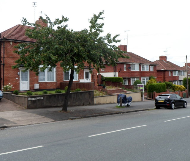
Image: © Jaggery Taken: 23 Jun 2012
Viewed from the corner of Penpole Lane. The strange looking object between the tree and the car is a motorbike with a protective covering.
Images are licensed for reuse under creativecommons.org/licenses/by-sa/2.0
Image Location
Latitude
51.492932
Longitude
-2.681405