Junction for Upton Lovell
Introduction
The photograph on this page of Junction for Upton Lovell by Phil Williams as part of the Geograph project.
The Geograph project started in 2005 with the aim of publishing, organising and preserving representative images for every square kilometre of Great Britain, Ireland and the Isle of Man.

There are currently over 7.5m images from over 14,400 individuals and you can help contribute to the project by visiting https://www.geograph.org.uk
Junction for Upton Lovell
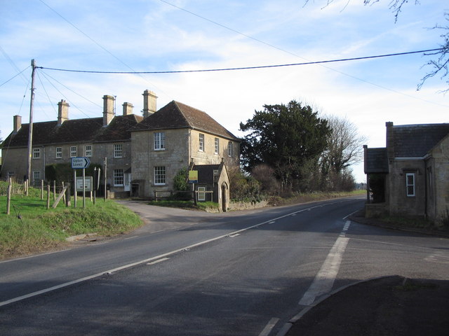
Image: © Phil Williams Taken: 4 Feb 2007
A view looking to the southeast along the A36 towards the junction of the lane to Upton Lovell. The small building on the left now used as a bus shelter may once have been a toll booth.
Images are licensed for reuse under creativecommons.org/licenses/by-sa/2.0
Image Location
Latitude
51.169387
Longitude
-2.077043