Site of Pontefract New Hall
Introduction
The photograph on this page of Site of Pontefract New Hall by derek dye as part of the Geograph project.
The Geograph project started in 2005 with the aim of publishing, organising and preserving representative images for every square kilometre of Great Britain, Ireland and the Isle of Man.

There are currently over 7.5m images from over 14,400 individuals and you can help contribute to the project by visiting https://www.geograph.org.uk
Site of Pontefract New Hall
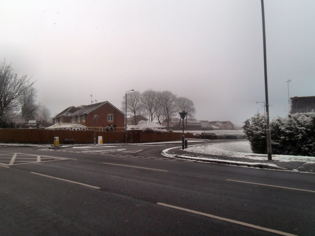
Image: © derek dye Taken: 16 Jan 2013
Where the Elizabethan New Hall stood. Demolished abt 1960
Images are licensed for reuse under creativecommons.org/licenses/by-sa/2.0
Image Location
Latitude
53.701022
Longitude
-1.298809