Bryn Mawr
Introduction
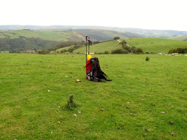
The photograph on this page of Bryn Mawr by Rude Health as part of the Geograph project.
The Geograph project started in 2005 with the aim of publishing, organising and preserving representative images for every square kilometre of Great Britain, Ireland and the Isle of Man.
There are currently over 7.5m images from over 14,400 individuals and you can help contribute to the project by visiting https://www.geograph.org.uk

Image: © Rude Health Taken: 28 Jun 2011
Climbed from SW on bridleway which at times was overgrown. True summit is sheep pasture NNE of burial ground. Name: Bryn Mawr Hill number: 5220 Height: 405m / 1329ft Area: 31B: Welshpool to Hay-on-Wye Class: Hu Grid ref: SN 94490 80302 Summit feature: no feature: grassy rise Drop: 110m Col: 295m SN940797

