Bayley Lane, Coventry
Introduction
The photograph on this page of Bayley Lane, Coventry by Malc McDonald as part of the Geograph project.
The Geograph project started in 2005 with the aim of publishing, organising and preserving representative images for every square kilometre of Great Britain, Ireland and the Isle of Man.

There are currently over 7.5m images from over 14,400 individuals and you can help contribute to the project by visiting https://www.geograph.org.uk
Bayley Lane, Coventry
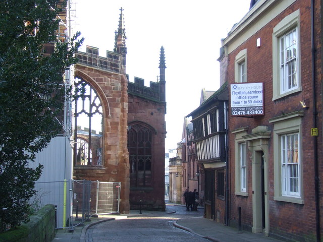
Image: © Malc McDonald Taken: 13 Jan 2013
The city of Coventry suffered extensive bomb damage during the Second World War. Amongst the buildings destroyed was the cathedral, which was reduced to a shell. The corner of the cathedral ruin is visible straight ahead. Buildings across the street were luckier, surviving the bombing raid on Coventry.
Images are licensed for reuse under creativecommons.org/licenses/by-sa/2.0
Image Location
Latitude
52.407803
Longitude
-1.508385