Shirehampton Sailing Club buildings, Bristol
Introduction
The photograph on this page of Shirehampton Sailing Club buildings, Bristol by Jaggery as part of the Geograph project.
The Geograph project started in 2005 with the aim of publishing, organising and preserving representative images for every square kilometre of Great Britain, Ireland and the Isle of Man.

There are currently over 7.5m images from over 14,400 individuals and you can help contribute to the project by visiting https://www.geograph.org.uk
Shirehampton Sailing Club buildings, Bristol
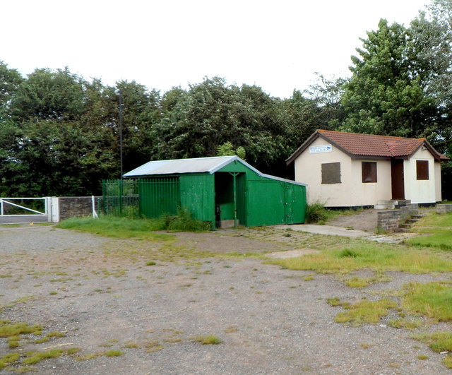
Image: © Jaggery Taken: 23 Jun 2012
The riverbank buildings are near this slipway http://www.geograph.org.uk/photo/3297665 into the River Avon.
Images are licensed for reuse under creativecommons.org/licenses/by-sa/2.0
Image Location
Latitude
51.483213
Longitude
-2.6827