Lower end of "Y Bont Fawr".
Introduction
The photograph on this page of Lower end of "Y Bont Fawr". by Hefin Richards as part of the Geograph project.
The Geograph project started in 2005 with the aim of publishing, organising and preserving representative images for every square kilometre of Great Britain, Ireland and the Isle of Man.

There are currently over 7.5m images from over 14,400 individuals and you can help contribute to the project by visiting https://www.geograph.org.uk
Lower end of "Y Bont Fawr".
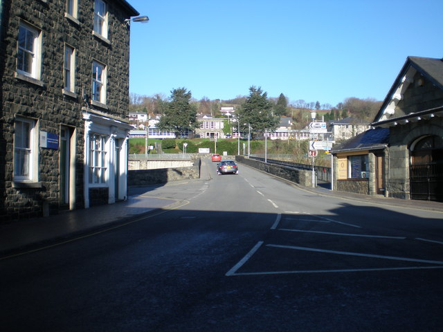
Image: © Hefin Richards Taken: 3 Feb 2007
"Y Bont Fawr" (The Big Bridge) was built over the river Wnion in 1638.
Images are licensed for reuse under creativecommons.org/licenses/by-sa/2.0
Image Location
Latitude
52.744086
Longitude
-3.884848