Vignoles bridge, Coventry
Introduction
The photograph on this page of Vignoles bridge, Coventry by Malc McDonald as part of the Geograph project.
The Geograph project started in 2005 with the aim of publishing, organising and preserving representative images for every square kilometre of Great Britain, Ireland and the Isle of Man.

There are currently over 7.5m images from over 14,400 individuals and you can help contribute to the project by visiting https://www.geograph.org.uk
Vignoles bridge, Coventry
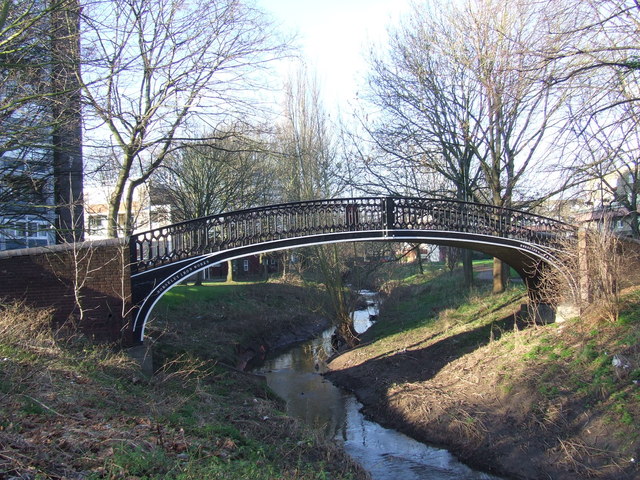
Image: © Malc McDonald Taken: 13 Jan 2013
This iron footbridge contrasts with the postwar buildings which surround it. The bridge, which dates from the 1830s, originally spanned the Oxford Canal. It was moved to its current location over the River Sherbourne in around 1969 or 1970. It is designated as a Scheduled Ancient Monument.
Images are licensed for reuse under creativecommons.org/licenses/by-sa/2.0
Image Location
Latitude
52.406596
Longitude
-1.520893