Bandstand, Clarence Park
Introduction
The photograph on this page of Bandstand, Clarence Park by Ian Capper as part of the Geograph project.
The Geograph project started in 2005 with the aim of publishing, organising and preserving representative images for every square kilometre of Great Britain, Ireland and the Isle of Man.

There are currently over 7.5m images from over 14,400 individuals and you can help contribute to the project by visiting https://www.geograph.org.uk
Bandstand, Clarence Park
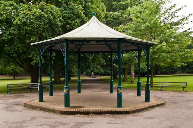
Image: © Ian Capper Taken: 26 Jun 2012
Clarence Park was laid out in 1894, funded by local furniture magnate Sir John Blundell-Maple. This is the bandstand, a replacement of the lost original using a Heritage Lottery Grant in 1997. In the background can be seen the drinking fountain in Image
Images are licensed for reuse under creativecommons.org/licenses/by-sa/2.0
Image Location
Latitude
51.752932
Longitude
-0.324767