Cell Barnes Lane
Introduction
The photograph on this page of Cell Barnes Lane by Ian Capper as part of the Geograph project.
The Geograph project started in 2005 with the aim of publishing, organising and preserving representative images for every square kilometre of Great Britain, Ireland and the Isle of Man.

There are currently over 7.5m images from over 14,400 individuals and you can help contribute to the project by visiting https://www.geograph.org.uk
Cell Barnes Lane
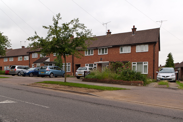
Image: © Ian Capper Taken: 26 Jun 2012
1960s housing on former farmland. Cell Barnes Lane as a route is much older.
Images are licensed for reuse under creativecommons.org/licenses/by-sa/2.0
Image Location
Latitude
51.740641
Longitude
-0.309753