Flood Alleviation
Introduction
The photograph on this page of Flood Alleviation by Anne Burgess as part of the Geograph project.
The Geograph project started in 2005 with the aim of publishing, organising and preserving representative images for every square kilometre of Great Britain, Ireland and the Isle of Man.

There are currently over 7.5m images from over 14,400 individuals and you can help contribute to the project by visiting https://www.geograph.org.uk
Flood Alleviation
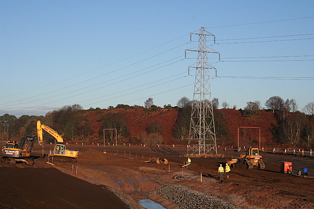
Image: © Anne Burgess Taken: 15 Jan 2013
The excavations here are part of a multi-million pound scheme to prevent, or at least mitigate the effects of, flooding in Elgin. The meandering River Lossie is at the foot of the steep bank in the background, and in the foreground there is the head of a drainage ditch which will channel water seeping out of the ground at Chanonry Industrial Estate into the Linkwood Burn and eventually into the River Lossie.
Images are licensed for reuse under creativecommons.org/licenses/by-sa/2.0
Image Location
Latitude
57.645947
Longitude
-3.278568