The Jubilee River
Introduction
The photograph on this page of The Jubilee River by Des Blenkinsopp as part of the Geograph project.
The Geograph project started in 2005 with the aim of publishing, organising and preserving representative images for every square kilometre of Great Britain, Ireland and the Isle of Man.

There are currently over 7.5m images from over 14,400 individuals and you can help contribute to the project by visiting https://www.geograph.org.uk
The Jubilee River
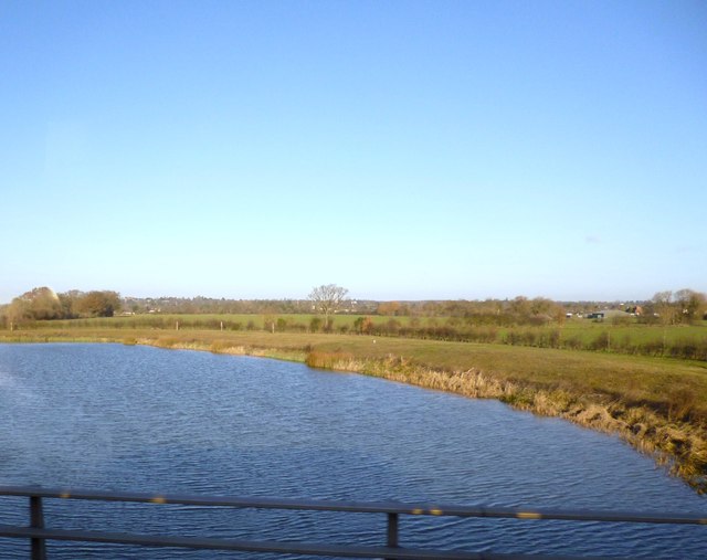
Image: © Des Blenkinsopp Taken: 10 Dec 2012
The Jubilee River flood relief scheme is the largest man made river in the country and the second largest in Europe. More info on http://en.wikipedia.org/wiki/Jubilee_River This point and shoot picture taken while travelling along the M4 in a bus hardly does it justice.
Images are licensed for reuse under creativecommons.org/licenses/by-sa/2.0
Image Location
Latitude
51.511068
Longitude
-0.673949