Hall Farm Area, NG15
Introduction
The photograph on this page of Hall Farm Area, NG15 by David Hallam-Jones as part of the Geograph project.
The Geograph project started in 2005 with the aim of publishing, organising and preserving representative images for every square kilometre of Great Britain, Ireland and the Isle of Man.

There are currently over 7.5m images from over 14,400 individuals and you can help contribute to the project by visiting https://www.geograph.org.uk
Hall Farm Area, NG15
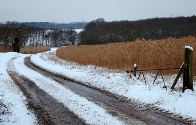
Image: © David Hallam-Jones Taken: 15 Jan 2013
A farm track off the Robin Hood Trail heading towards Quarry Bank Farm. Particularly noticeable are fields of Miscanthus Giganteus ("Elephant Grass") whose uses include horse bedding, garden mulch and most importantly, as a biofuel that can be burned alongside coal or alone in small scale combined heat and power (CHP) units.
Images are licensed for reuse under creativecommons.org/licenses/by-sa/2.0
Image Location
Latitude
53.063986
Longitude
-1.185633