Bus stop on Church Hill, Scraptoft
Introduction
The photograph on this page of Bus stop on Church Hill, Scraptoft by Richard Vince as part of the Geograph project.
The Geograph project started in 2005 with the aim of publishing, organising and preserving representative images for every square kilometre of Great Britain, Ireland and the Isle of Man.

There are currently over 7.5m images from over 14,400 individuals and you can help contribute to the project by visiting https://www.geograph.org.uk
Bus stop on Church Hill, Scraptoft
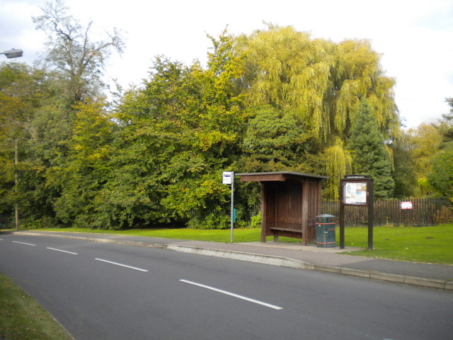
Image: © Richard Vince Taken: 13 Oct 2012
As if to emphasise that Scraptoft is a village, its main bus stop is provided with a wooden bus shelter, next to which is a parish council notice board. When this picture was taken, the village was served by route 56 from Leicester city centre via Uppingham Road and Thurnby.
Images are licensed for reuse under creativecommons.org/licenses/by-sa/2.0
Image Location
Latitude
52.644916
Longitude
-1.044751