Scraptoft Hall and grounds
Introduction
The photograph on this page of Scraptoft Hall and grounds by Richard Vince as part of the Geograph project.
The Geograph project started in 2005 with the aim of publishing, organising and preserving representative images for every square kilometre of Great Britain, Ireland and the Isle of Man.

There are currently over 7.5m images from over 14,400 individuals and you can help contribute to the project by visiting https://www.geograph.org.uk
Scraptoft Hall and grounds
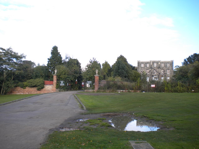
Image: © Richard Vince Taken: 13 Oct 2012
While the grounds of Scraptoft Hall seemed to be in commercial use when this picture was taken, the hall itself looked very unloved. See Image for a more detailed view of the hall in January 2011.
Images are licensed for reuse under creativecommons.org/licenses/by-sa/2.0
Image Location
Latitude
52.644733
Longitude
-1.044312