
Old Radnor Hill
Introduction
The photograph on this page of Old Radnor Hill by Rude Health as part of the Geograph project.
The Geograph project started in 2005 with the aim of publishing, organising and preserving representative images for every square kilometre of Great Britain, Ireland and the Isle of Man.

There are currently over 7.5m images from over 14,400 individuals and you can help contribute to the project by visiting https://www.geograph.org.uk
Old Radnor Hill
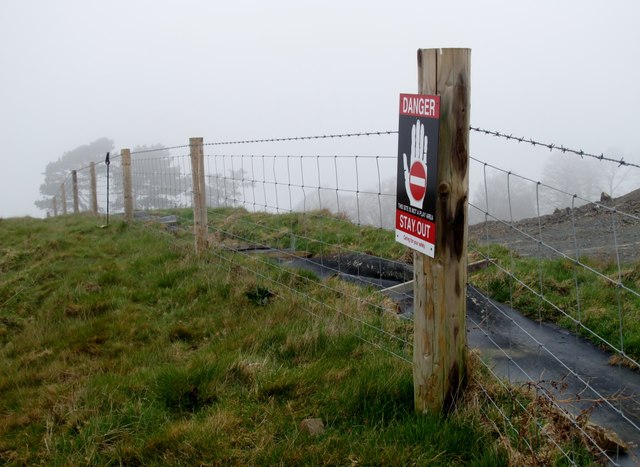
Image: © Rude Health Taken: 27 Mar 2011
May now be a subHuMP but still a nice short ascent on a misty Sunday morning from SW. My GPS only gave highest point left at 314 metres. Quarry eating away at high point of hill. In 2013 this hill has been demoted to a subHuMP and a P99. Name: Old Radnor Hill Hill number: 5225 Height: 317m / 1040ft Area: 31B: Welshpool to Hay-on-Wye Class: Hu Grid ref: SO 25122 58775 Summit feature: no feature outside quarry fence Drop: 100m Col: 217m SO259591
Images are licensed for reuse under creativecommons.org/licenses/by-sa/2.0
Image Location

Latitude
52.223029
Longitude
-3.096137