Holborn Avenue, Bangor
Introduction
The photograph on this page of Holborn Avenue, Bangor by Rossographer as part of the Geograph project.
The Geograph project started in 2005 with the aim of publishing, organising and preserving representative images for every square kilometre of Great Britain, Ireland and the Isle of Man.

There are currently over 7.5m images from over 14,400 individuals and you can help contribute to the project by visiting https://www.geograph.org.uk
Holborn Avenue, Bangor
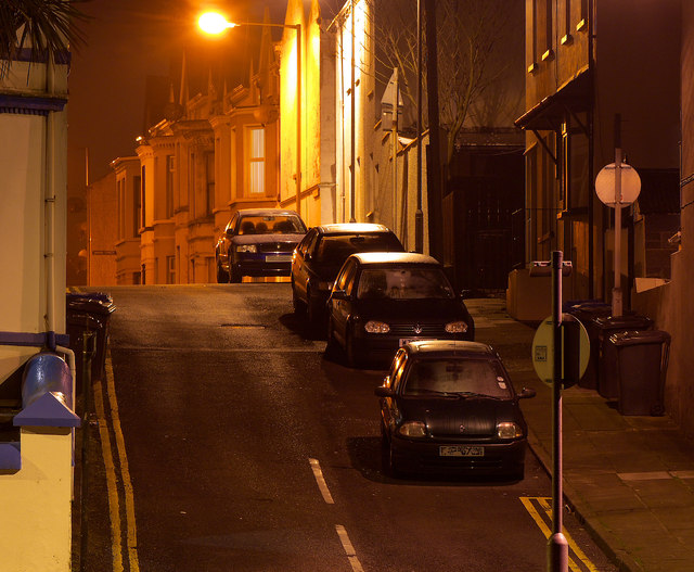
Image: © Rossographer Taken: 10 Jan 2013
Night view of the western end of Holborn Avenue in Bangor. The road ends in a steep slope as it meets the Seacliff Road. See Image for a view in the opposite direction.
Images are licensed for reuse under creativecommons.org/licenses/by-sa/2.0
Image Location
Latitude
54.665643
Longitude
-5.66525