Ludgershall Mission Hall
Introduction
The photograph on this page of Ludgershall Mission Hall by nick macneill as part of the Geograph project.
The Geograph project started in 2005 with the aim of publishing, organising and preserving representative images for every square kilometre of Great Britain, Ireland and the Isle of Man.

There are currently over 7.5m images from over 14,400 individuals and you can help contribute to the project by visiting https://www.geograph.org.uk
Ludgershall Mission Hall
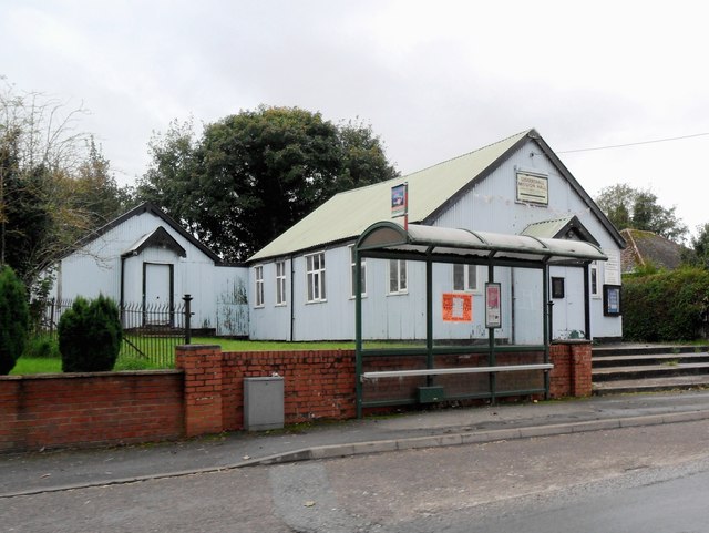
Image: © nick macneill Taken: 15 Oct 2012
Such 'tin huts' are rarer now, but I understand that some have thankfully been listed.
Images are licensed for reuse under creativecommons.org/licenses/by-sa/2.0
Image Location


Leaflet Map data © OpenStreetMap
Latitude
51.254565
Longitude
-1.615637