Thamesmead: A2016 Eastern Way footbridge
Introduction
The photograph on this page of Thamesmead: A2016 Eastern Way footbridge by Nigel Cox as part of the Geograph project.
The Geograph project started in 2005 with the aim of publishing, organising and preserving representative images for every square kilometre of Great Britain, Ireland and the Isle of Man.

There are currently over 7.5m images from over 14,400 individuals and you can help contribute to the project by visiting https://www.geograph.org.uk
Thamesmead: A2016 Eastern Way footbridge
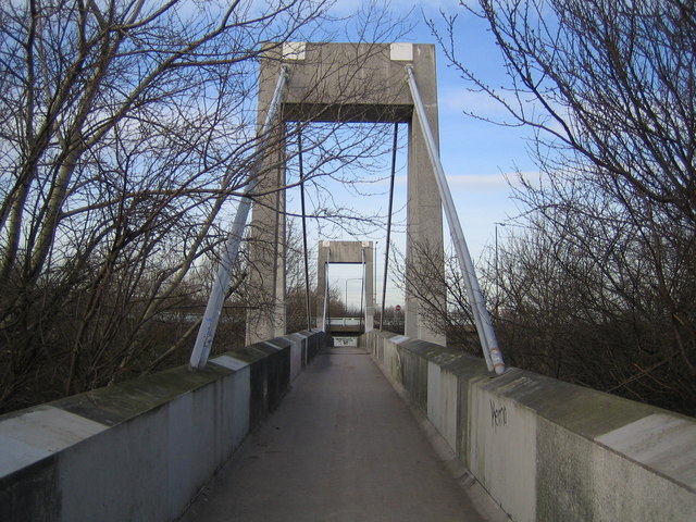
Image: © Nigel Cox Taken: 31 Jan 2007
This footbridge links the Southmere area with the main area of Thamesmead.
Images are licensed for reuse under creativecommons.org/licenses/by-sa/2.0
Image Location
Latitude
51.500675
Longitude
0.119333