Langton Long Blandford, B3082
Introduction
The photograph on this page of Langton Long Blandford, B3082 by Mike Faherty as part of the Geograph project.
The Geograph project started in 2005 with the aim of publishing, organising and preserving representative images for every square kilometre of Great Britain, Ireland and the Isle of Man.

There are currently over 7.5m images from over 14,400 individuals and you can help contribute to the project by visiting https://www.geograph.org.uk
Langton Long Blandford, B3082
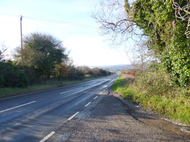
Image: © Mike Faherty Taken: 13 Jan 2013
Road from Wimborne to Blandford, descending into the Stour Valley.
Images are licensed for reuse under creativecommons.org/licenses/by-sa/2.0
Image Location


Leaflet Map data © OpenStreetMap
Latitude
50.858648
Longitude
-2.139325