Dyke, Clarilaw
Introduction
The photograph on this page of Dyke, Clarilaw by Richard Webb as part of the Geograph project.
The Geograph project started in 2005 with the aim of publishing, organising and preserving representative images for every square kilometre of Great Britain, Ireland and the Isle of Man.

There are currently over 7.5m images from over 14,400 individuals and you can help contribute to the project by visiting https://www.geograph.org.uk
Dyke, Clarilaw
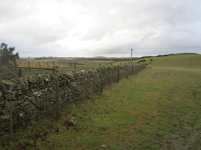
Image: © Richard Webb Taken: 12 Jan 2013
There is an exposure of hard rock here, with a very knolly landscape which would gladden the heart of a golf course designer. It is all agricultural, mostly grazed by sheep with evidence of quarrying here and there.
Images are licensed for reuse under creativecommons.org/licenses/by-sa/2.0
Image Location
Latitude
55.542119
Longitude
-2.710699