Taff Trail between Quaker's Yard and Edwardsville
Introduction
The photograph on this page of Taff Trail between Quaker's Yard and Edwardsville by John Light as part of the Geograph project.
The Geograph project started in 2005 with the aim of publishing, organising and preserving representative images for every square kilometre of Great Britain, Ireland and the Isle of Man.

There are currently over 7.5m images from over 14,400 individuals and you can help contribute to the project by visiting https://www.geograph.org.uk
Taff Trail between Quaker's Yard and Edwardsville
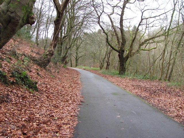
Image: © John Light Taken: 4 Jan 2013
A well surfaced path. This is a pleasant section of the trail - trees on either side of the path and the river down below to the right.
Images are licensed for reuse under creativecommons.org/licenses/by-sa/2.0
Image Location
Latitude
51.662176
Longitude
-3.313589