Old coal workings near Coalburn
Introduction
The photograph on this page of Old coal workings near Coalburn by A-M-Jervis as part of the Geograph project.
The Geograph project started in 2005 with the aim of publishing, organising and preserving representative images for every square kilometre of Great Britain, Ireland and the Isle of Man.

There are currently over 7.5m images from over 14,400 individuals and you can help contribute to the project by visiting https://www.geograph.org.uk
Old coal workings near Coalburn
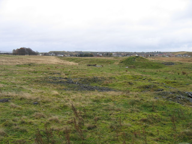
Image: © A-M-Jervis Taken: 12 Nov 2005
Coalburn Colliery comprisred a number of pits around the village and the lumpiness of the ground north of the village marks the site of the Shoulderigg Pit, which was linked by a rail line to the main colliery in the middle of the village. To the far left is the flat-topped waste bing of Bellfield Pit and to the far right the outer edges of the huge Dalquhandy opencast site.
Images are licensed for reuse under creativecommons.org/licenses/by-sa/2.0
Image Location
Latitude
55.60134
Longitude
-3.894237