Track on Echo Hill
Introduction
The photograph on this page of Track on Echo Hill by Derek Harper as part of the Geograph project.
The Geograph project started in 2005 with the aim of publishing, organising and preserving representative images for every square kilometre of Great Britain, Ireland and the Isle of Man.

There are currently over 7.5m images from over 14,400 individuals and you can help contribute to the project by visiting https://www.geograph.org.uk
Track on Echo Hill
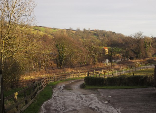
Image: © Derek Harper Taken: 30 Dec 2012
A view from the point where the Esk Valley Walk makes a right-angled bend east of Sleights. This private road leads to a sewage works, running between the railway line (visible ahead, which it soon crosses) and the River Esk (also visible). The riverside structure measures river flow http://www.environment-agency.gov.uk/hiflows/station.aspx?27206 .
Images are licensed for reuse under creativecommons.org/licenses/by-sa/2.0
Image Location


Leaflet Map data © OpenStreetMap
Latitude
54.461256
Longitude
-0.656612