Railway Land Nature Reserve
Introduction
The photograph on this page of Railway Land Nature Reserve by Simon Carey as part of the Geograph project.
The Geograph project started in 2005 with the aim of publishing, organising and preserving representative images for every square kilometre of Great Britain, Ireland and the Isle of Man.

There are currently over 7.5m images from over 14,400 individuals and you can help contribute to the project by visiting https://www.geograph.org.uk
Railway Land Nature Reserve
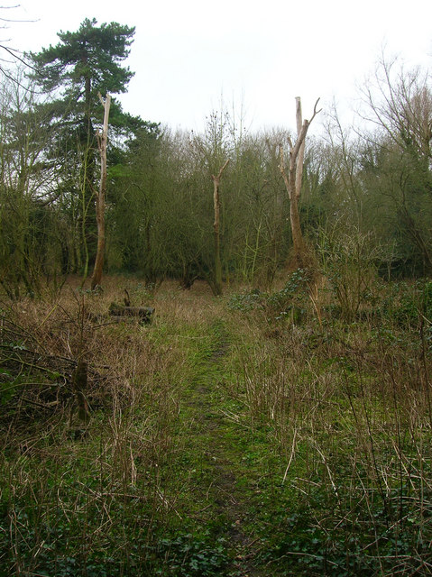
Image: © Simon Carey Taken: 4 Feb 2007
This part was once the grounds of a Victorian house called Leighside an island surrounded by railway tracks which could be reached only by a bridge from Pinwell Road. Today the area is part of a nature reserve that covers the area from the river to the edge of the town.
Images are licensed for reuse under creativecommons.org/licenses/by-sa/2.0
Image Location
Latitude
50.872444
Longitude
0.015658