River Kelvin
Introduction
The photograph on this page of River Kelvin by Richard Webb as part of the Geograph project.
The Geograph project started in 2005 with the aim of publishing, organising and preserving representative images for every square kilometre of Great Britain, Ireland and the Isle of Man.

There are currently over 7.5m images from over 14,400 individuals and you can help contribute to the project by visiting https://www.geograph.org.uk
River Kelvin
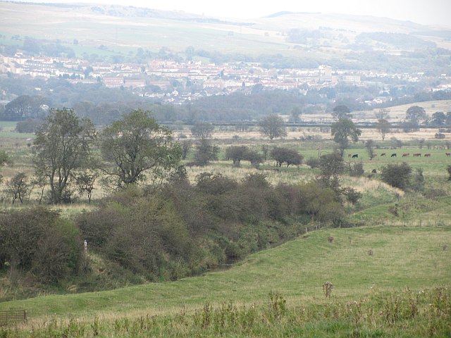
Image: © Richard Webb Taken: 30 Sep 2011
Although "Danger area" does not appear on maps in big red unfriendly letters, land on the far bank of the river is posted as a firing range by big unfriendly signs.
Images are licensed for reuse under creativecommons.org/licenses/by-sa/2.0
Image Location
Latitude
55.953275
Longitude
-4.109212