Converted Warehouse, Railway Lane
Introduction
The photograph on this page of Converted Warehouse, Railway Lane by Simon Carey as part of the Geograph project.
The Geograph project started in 2005 with the aim of publishing, organising and preserving representative images for every square kilometre of Great Britain, Ireland and the Isle of Man.

There are currently over 7.5m images from over 14,400 individuals and you can help contribute to the project by visiting https://www.geograph.org.uk
Converted Warehouse, Railway Lane
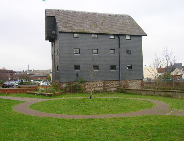
Image: © Simon Carey Taken: 4 Feb 2007
This part of Lewes was once heaving with industry but is now a quiet residential backwater. The warehouse backs onto the River Ouse whilst the foreground was once a wharf for cargoes from Newhaven. To the left of the warehouse there are no signs left visible that this was once Lewes' railway goods yard with a viaduct carrying the line from Lewes to Uckfield now the area is car park.
Images are licensed for reuse under creativecommons.org/licenses/by-sa/2.0
Image Location
Latitude
50.873248
Longitude
0.015977