View to Hen Efail
Introduction
The photograph on this page of View to Hen Efail by Jonathan Wilkins as part of the Geograph project.
The Geograph project started in 2005 with the aim of publishing, organising and preserving representative images for every square kilometre of Great Britain, Ireland and the Isle of Man.

There are currently over 7.5m images from over 14,400 individuals and you can help contribute to the project by visiting https://www.geograph.org.uk
View to Hen Efail
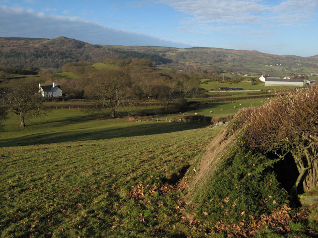
Image: © Jonathan Wilkins Taken: 11 Jan 2013
Looking down the pasture and footpath to Hen Efail. Prominent on the hillside opposite is Craig Celynin (Image) above the wooded lower slopes. A threatening front is beginning to obscure the otherwise perfect sky.
Images are licensed for reuse under creativecommons.org/licenses/by-sa/2.0
Image Location
Latitude
53.240972
Longitude
-3.834233