Where did the Sun go?
Introduction
The photograph on this page of Where did the Sun go? by Jonathan Wilkins as part of the Geograph project.
The Geograph project started in 2005 with the aim of publishing, organising and preserving representative images for every square kilometre of Great Britain, Ireland and the Isle of Man.

There are currently over 7.5m images from over 14,400 individuals and you can help contribute to the project by visiting https://www.geograph.org.uk
Where did the Sun go?
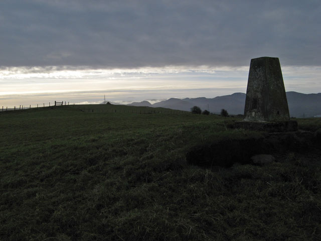
Image: © Jonathan Wilkins Taken: 11 Jan 2013
First impressions on reaching the summit of Mynydd Llanelian with its triangulation pillar. In the previous hour a band of high cloud obscured what had been a pristine, blue sky. The opportunity for a contra-jour image of the distant peaks of Carneddau made up for it - a bit.
Images are licensed for reuse under creativecommons.org/licenses/by-sa/2.0
Image Location
Latitude
53.255726
Longitude
-3.731426