B3033 Botley Road
Introduction
The photograph on this page of B3033 Botley Road by Stuart Logan as part of the Geograph project.
The Geograph project started in 2005 with the aim of publishing, organising and preserving representative images for every square kilometre of Great Britain, Ireland and the Isle of Man.

There are currently over 7.5m images from over 14,400 individuals and you can help contribute to the project by visiting https://www.geograph.org.uk
B3033 Botley Road
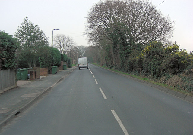
Image: © Stuart Logan Taken: 10 Jan 2013
To the right of this road is vestigial pasture in a triangle bounded by the A3025. It is mostly divided into pony paddocks.
Images are licensed for reuse under creativecommons.org/licenses/by-sa/2.0
Image Location
Latitude
50.896522
Longitude
-1.339608