Track through The Daisy Field, Lamplighters Marsh, Shirehampton, Bristol
Introduction
The photograph on this page of Track through The Daisy Field, Lamplighters Marsh, Shirehampton, Bristol by Jaggery as part of the Geograph project.
The Geograph project started in 2005 with the aim of publishing, organising and preserving representative images for every square kilometre of Great Britain, Ireland and the Isle of Man.

There are currently over 7.5m images from over 14,400 individuals and you can help contribute to the project by visiting https://www.geograph.org.uk
Track through The Daisy Field, Lamplighters Marsh, Shirehampton, Bristol
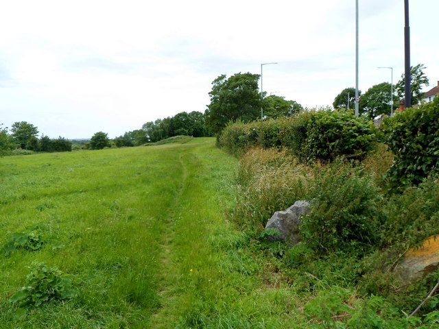
Image: © Jaggery Taken: 23 Jun 2012
Viewed from the edge of Station Road, where an information board states that The Daisy Field is managed by Bristol Parks working with Shirehampton Community Action Forum.
Images are licensed for reuse under creativecommons.org/licenses/by-sa/2.0
Image Location
Latitude
51.485198
Longitude
-2.681577