Footpath near Orrell Fold
Introduction
The photograph on this page of Footpath near Orrell Fold by philandju as part of the Geograph project.
The Geograph project started in 2005 with the aim of publishing, organising and preserving representative images for every square kilometre of Great Britain, Ireland and the Isle of Man.

There are currently over 7.5m images from over 14,400 individuals and you can help contribute to the project by visiting https://www.geograph.org.uk
Footpath near Orrell Fold
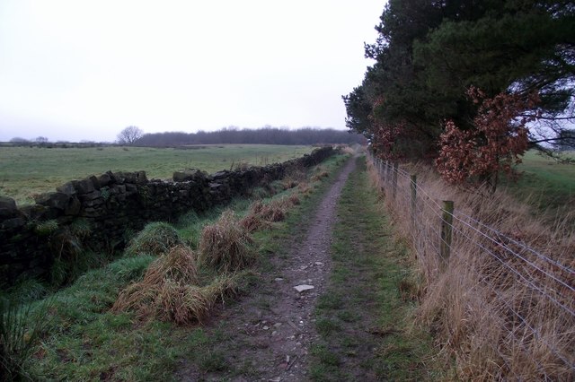
Image: © philandju Taken: 10 Jan 2013
The path runs alongside Turton Golf Course and forms part of the boundary between Bolton and Blackburn with Darwen.
Images are licensed for reuse under creativecommons.org/licenses/by-sa/2.0
Image Location
Latitude
53.624575
Longitude
-2.423309