The Afon Garw in woodland between Tylagwyn and Pont-y-rhyl
Introduction
The photograph on this page of The Afon Garw in woodland between Tylagwyn and Pont-y-rhyl by eswales as part of the Geograph project.
The Geograph project started in 2005 with the aim of publishing, organising and preserving representative images for every square kilometre of Great Britain, Ireland and the Isle of Man.

There are currently over 7.5m images from over 14,400 individuals and you can help contribute to the project by visiting https://www.geograph.org.uk
The Afon Garw in woodland between Tylagwyn and Pont-y-rhyl
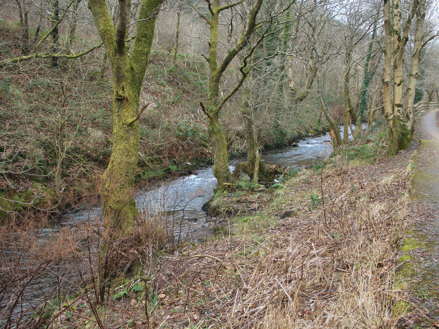
Image: © eswales Taken: Unknown
Part of a stretch of the river where it flows beside the path followed by Route 884 of the National Cycle Network.
Images are licensed for reuse under creativecommons.org/licenses/by-sa/2.0
Image Location
Latitude
51.587792
Longitude
-3.575356