Flats on Churchway NW1
Introduction
The photograph on this page of Flats on Churchway NW1 by Robin Stott as part of the Geograph project.
The Geograph project started in 2005 with the aim of publishing, organising and preserving representative images for every square kilometre of Great Britain, Ireland and the Isle of Man.

There are currently over 7.5m images from over 14,400 individuals and you can help contribute to the project by visiting https://www.geograph.org.uk
Flats on Churchway NW1
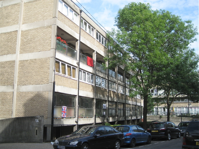
Image: © Robin Stott Taken: 10 Jun 2012
This is the northern, residential end of Churchway. Churchway continues south behind the camera as a road, A4200 in part, to meet the Euston Road.
Images are licensed for reuse under creativecommons.org/licenses/by-sa/2.0
Image Location


Leaflet Map data © OpenStreetMap
Latitude
51.528759
Longitude
-0.130798