Oast House, in Belgar, near Tenterden
Introduction
The photograph on this page of Oast House, in Belgar, near Tenterden by Barry Hunter as part of the Geograph project.
The Geograph project started in 2005 with the aim of publishing, organising and preserving representative images for every square kilometre of Great Britain, Ireland and the Isle of Man.

There are currently over 7.5m images from over 14,400 individuals and you can help contribute to the project by visiting https://www.geograph.org.uk
Oast House, in Belgar, near Tenterden
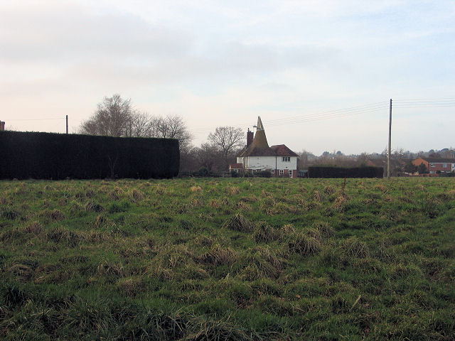
Image: © Barry Hunter Taken: 4 Feb 2007
Flat fields at the back of housing estates.
Images are licensed for reuse under creativecommons.org/licenses/by-sa/2.0
Image Location


Leaflet Map data © OpenStreetMap
Latitude
51.066053
Longitude
0.702625