Red Brig
Introduction
The photograph on this page of Red Brig by Lis Burke as part of the Geograph project.
The Geograph project started in 2005 with the aim of publishing, organising and preserving representative images for every square kilometre of Great Britain, Ireland and the Isle of Man.

There are currently over 7.5m images from over 14,400 individuals and you can help contribute to the project by visiting https://www.geograph.org.uk
Red Brig
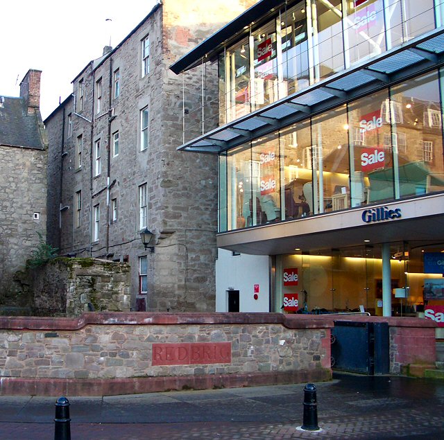
Image: © Lis Burke Taken: 4 Feb 2007
The Town Lade Image runs underground from the City Mills Image but surfaces briefly here before flowing into the Tay. The floodgates to the right of the bridge were installed as part of Perth's flood defences, as water backs up in the lade when the Tay is high.
Images are licensed for reuse under creativecommons.org/licenses/by-sa/2.0
Image Location


Leaflet Map data © OpenStreetMap
Latitude
56.397312
Longitude
-3.428878