Edwards Field
Introduction
The photograph on this page of Edwards Field by Penny Mayes as part of the Geograph project.
The Geograph project started in 2005 with the aim of publishing, organising and preserving representative images for every square kilometre of Great Britain, Ireland and the Isle of Man.

There are currently over 7.5m images from over 14,400 individuals and you can help contribute to the project by visiting https://www.geograph.org.uk
Edwards Field
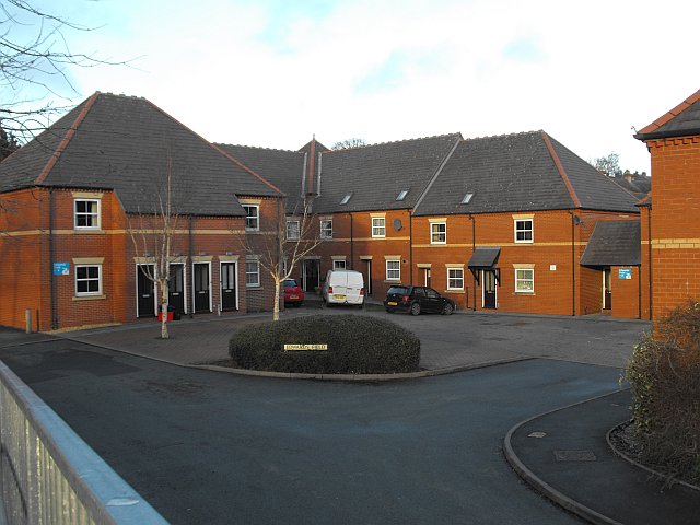
Image: © Penny Mayes Taken: 1 Jan 2013
A low level development of apartments near the eastern end of the Ha'penny Bridge. With less polychromatic brickwork than some of the modern buildings in Newtown.
Images are licensed for reuse under creativecommons.org/licenses/by-sa/2.0
Image Location
Latitude
52.51626
Longitude
-3.312099