Muswell Hill
Introduction
The photograph on this page of Muswell Hill by Rude Health as part of the Geograph project.
The Geograph project started in 2005 with the aim of publishing, organising and preserving representative images for every square kilometre of Great Britain, Ireland and the Isle of Man.

There are currently over 7.5m images from over 14,400 individuals and you can help contribute to the project by visiting https://www.geograph.org.uk
Muswell Hill
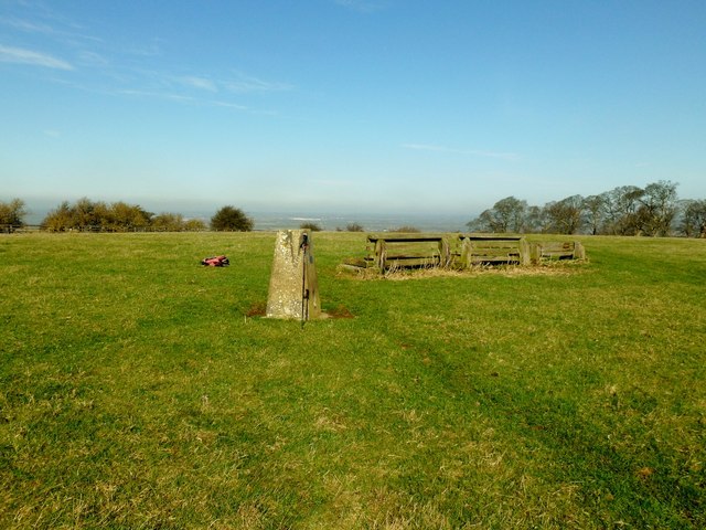
Image: © Rude Health Taken: 6 Mar 2012
Parked just passed entry to Muswell Hill Manor, through gate to trig next to cross country jumps. Super views on lovely morning and my completion of 11 HuMPs in 24 hours from 10:20 on 05/03/12 to 10:15 06/03/12. Name: Muswell Hill Hill number: 5397 Height: 198m / 650ft Area: 39: Central and Eastern England Class: Hu Grid ref: SP 64127 15309 Summit feature: ground 7m NW of trig point Drop: 126m Col: 72m SP693154
Images are licensed for reuse under creativecommons.org/licenses/by-sa/2.0
Image Location
Latitude
51.83255
Longitude
-1.070739